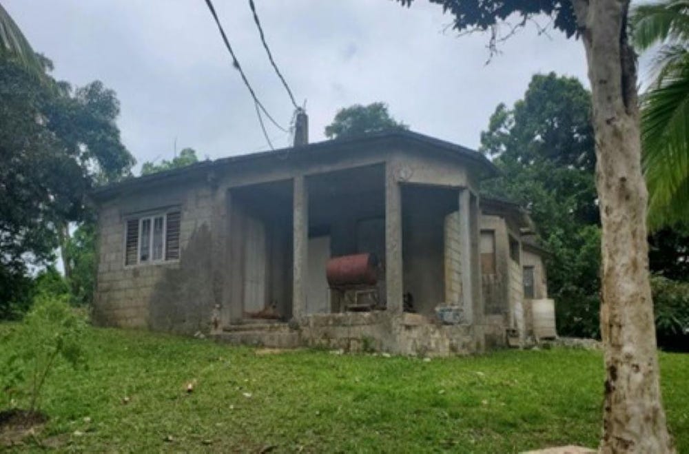
Mount Salus Road, Mannings Hill (Rural), St. Andrew
Property information for Mount Salus Road, Mannings Hill (Rural), St. Andrew
AI-powered estimation based on comprehensive analysis of location, demographics, infrastructure, and market factors
Estimated Value (JMD)
JMD 3,151,380
Estimated Value (USD)
USD 21,009
Confidence Score
75%
Market Multiplier
0.92x
📊 Value Range Analysis
JMD Range:
JMD 2,521,104 - JMD 3,781,656
JMD 2,521,104 - JMD 3,781,656
📊 Analysis Details
Summary: AI analysis indicates a land value of JMD 3,151,380 based on 75% confidence analysis of population density, building count, facilities, and environmental factors.
Key Factors: Population density: 12437 people • Building count: 0 • Nearby facilities: 0 • Environmental score: 0.0% • Economic score: 0.0%
Tax Status: Not Available
Legal: Property appears to be legally registered
Improvements: Vacant land with development potential
Detailed analysis of buildings, attractions, and amenities in and around the property
🌊 Nearest Natural Features (5)
wood
Distance: 80.8m📍 View Location
Kingswood Cave
Distance: 280.1m📍 View Location
wood
Distance: 309.0m📍 View Location
wood
Distance: 345.5m📍 View Location
wood
Distance: 408.8m📍 View Location
🛣️ Transport Infrastructure
path
Distance: 70.8m - Type: path📍 View Location
track
Distance: 261.8m - Type: track📍 View Location
path
Distance: 291.7m - Type: path📍 View Location
footway
Distance: 339.8m - Type: footway📍 View Location
path
Distance: 365.3m - Type: path📍 View Location