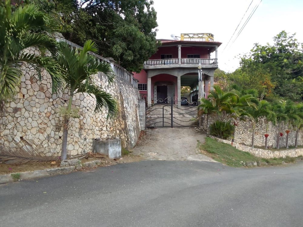
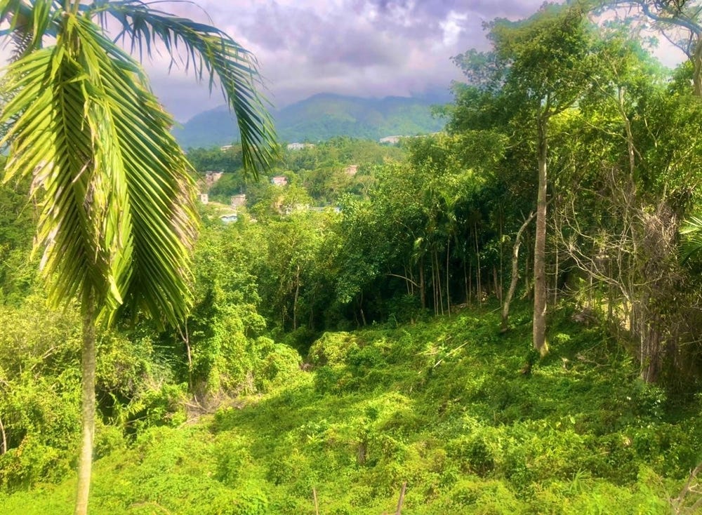
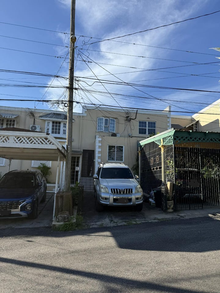
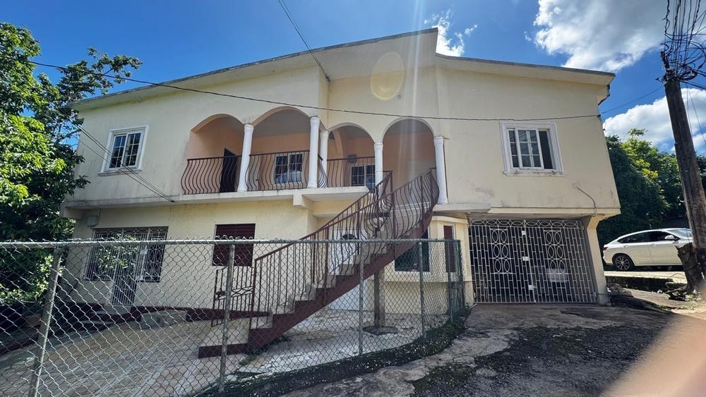
MANNINGS HILL, Mount Salus Road, Mannings Hill (Rural), St. Andrew
Property information for Mount Salus Road, RED HILLS P O, Mannings Hill (Rural), St. Andrew
AI-powered estimation based on comprehensive analysis of location, demographics, infrastructure, and market factors
Estimated Value (JMD)
JMD 56,277,105
Estimated Value (USD)
USD 375,181
Confidence Score
95%
Market Multiplier
0.97x
📊 Value Range Analysis
JMD Range:
JMD 45,021,684 - JMD 67,532,526
JMD 45,021,684 - JMD 67,532,526
📊 Analysis Details
Summary: AI analysis indicates a land value of JMD 56,277,105 based on 95% confidence analysis of population density, building count, facilities, and environmental factors.
Key Factors: Population density: 114451 people • Building count: 2 • Nearby facilities: 0 • Environmental score: 0.0% • Economic score: 0.0%
Tax Status: Available
Legal: Property appears to be legally registered
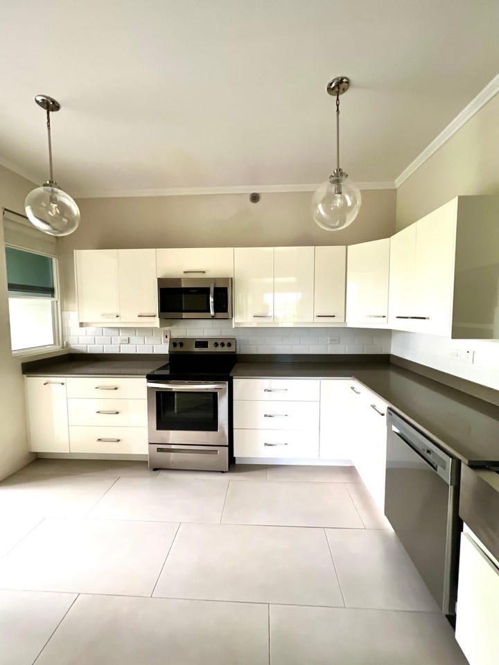
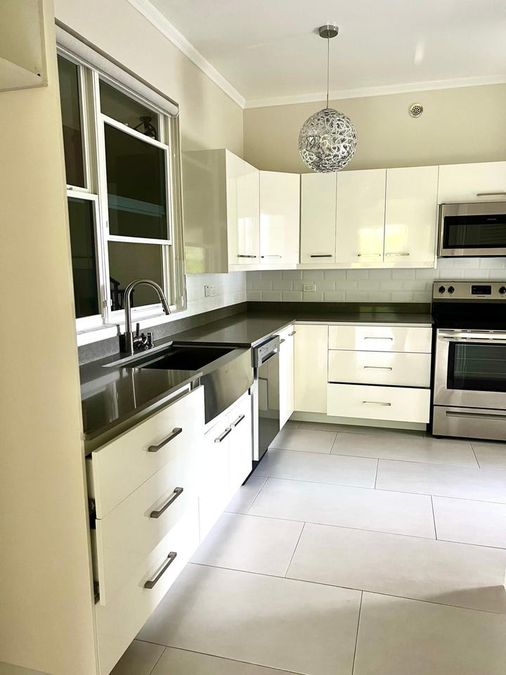
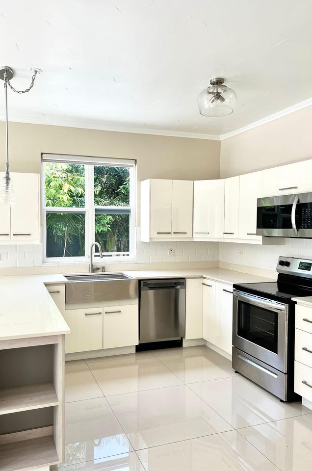
Improvements: Property has existing structures
Detailed analysis of buildings, attractions, and amenities in and around the property
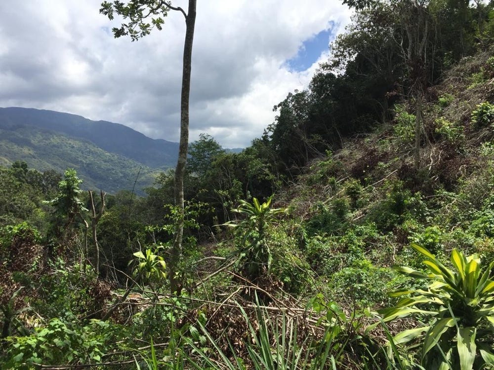
🌊 Nearest Natural Features (5)
wood
Distance: 47.7m📍 View Location
wood
Distance: 118.4m📍 View Location
wood
Distance: 308.9m📍 View Location
wood
Distance: 419.8m📍 View Location
wood
Distance: 439.3m📍 View Location
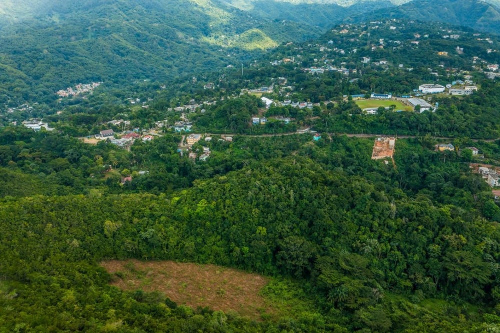
🛣️ Transport Infrastructure
track
Distance: 299.4m - Type: track📍 View Location
Mount Salus Road
Distance: 305.7m - Type: residential📍 View Location
footway
Distance: 309.7m - Type: footway📍 View Location
residential
Distance: 333.2m - Type: residential📍 View Location
residential
Distance: 340.9m - Type: residential📍 View Location